News Summary
The Austin Fire Department has launched an interactive wildfire risk map to combat increasing wildfire threats in Central Texas. High temperatures, dry soil, and strong winds have intensified fire weather concerns, with significant portions of the population at risk. The map categorizes fire risks and aims to enhance awareness and safety among residents, especially in high-risk areas. Building regulations have also been updated to require fire-resistant materials and protective measures. As wildfire risks continue to escalate, residents are encouraged to stay informed and take necessary precautions.
Austin, Texas: Wildfire Risk Awareness and Preparedness Initiatives
What Happened
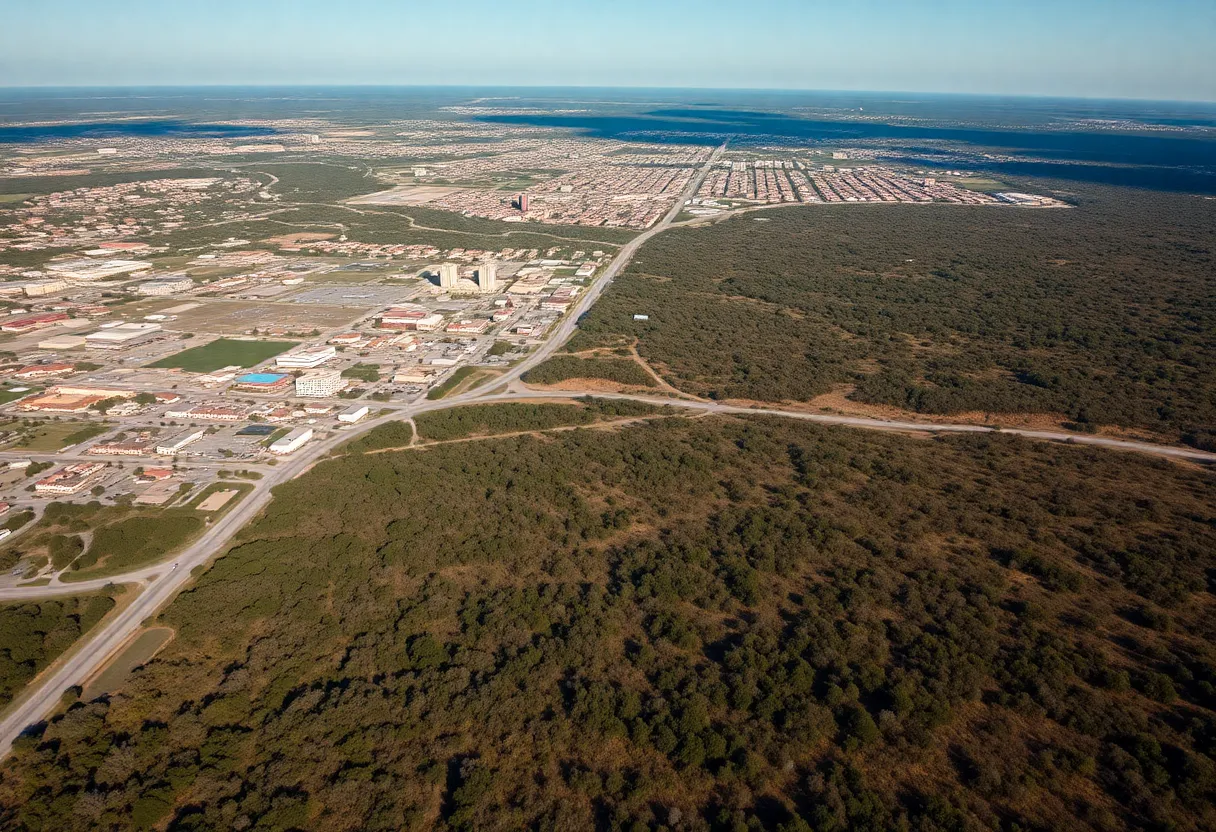
The Austin Fire Department (AFD) has unveiled an interactive wildfire risk map in response to prevailing conditions conducive to wildfires across Central Texas. High temperatures, dry soil, and strong winds have heightened fire weather concerns in the region, necessitating increased awareness and preparedness for local residents. The Wildland Urban Interface (WUI) presents a particular risk where vegetation-covered areas meet human settlements, emphasizing the need for comprehensive understanding and strategies to mitigate fire hazards.
Who Is Affected
Wildfire risks impact approximately 49% of structures in Austin and 65% of structures in Travis County, placing a significant portion of the population at potential risk. The WUI in Travis County covers 59% of the area, with 36% of Austin itself classified under this definition. Several city council districts face varying levels of wildfire risks, as districts 1, 6, and 10 have been identified as having much higher risk levels compared to districts 3, 4, 7, and 9, which carry moderate risks.
This risk distribution poses critical safety challenges for residents, particularly those who live on or near the fringes of urbanized areas that transition to wildlands.
Official Response
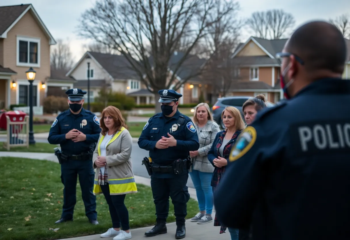
In light of current risks, the AFD’s Community Wildfire Risk map has been developed to allow residents to enter their addresses and gain insights into local wildfire risk levels. The map categorizes risks into five levels: low, moderate, elevated, high, and highest. Additionally, to strengthen fire protection for homes, the city adopted building regulations in 2020 that mandate the use of fire-resistant materials and the installation of protective features in residential structures.
City officials also recognize that the updated wildfire risk rules could potentially place 71% of the city’s land parcels at risk, underscoring the need for ongoing adjustments and enhancements to fire mitigation safety standards.
Impact
Austin ironically ranks fifth in the United States for the number of homes threatened by wildfires, trailing only four major cities in California. The escalating wildfire risks are anticipated to influence homeowner insurance costs adversely, adding a financial burden to residents while they seek to protect their properties. There are also concerns expressed by builders regarding the increasing costs associated with wildfire protection requirements.
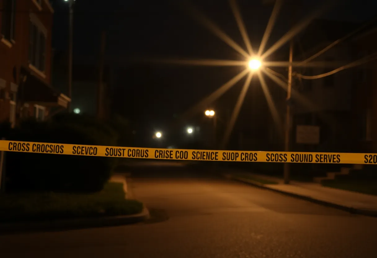
The National Weather Service has issued warnings about extreme risks fueled by low humidity and high winds, advising residents to take precautions against potential wildfire ignitions. Recommendations include avoiding outdoor burning, ensuring vehicles are kept off dry grass, and maintaining responsible disposal of cigarettes.
What’s Next
As part of the city’s efforts to manage wildfire risks, the AFD has committed to enhancing staffing levels during days of high fire risk, ensuring a prompt response to emerging fire threats. The AFD also performs prescribed burns and vegetation management to reduce flammable material around urban areas. However, residents continue to express concerns about the effectiveness of existing fire prevention measures.
In addition to the interactive wildfire risk map, residents can request structural evaluations for wildfire risks from the AFD, promoting a community-wide commitment to safety. Residents should also prepare emergency kits and proactively clear flammable debris from their properties, fostering a safer environment amid the threats of wildfires.
As updates arise in the fire risk mapping and response strategies, residents are encouraged to stay informed and engaged in local safety initiatives, ensuring their homes and communities are resilient against the looming risks posed by wildfires in Central Texas.
Deeper Dive: News & Info About This Topic
HERE Resources
Southern California Braces for Heavy Rainfall and Debris Flows
Austin Faces Water Main Breaks, Affecting Residents and Services
Big Changes Coming to Texas School Funding
Fatal Collision Involving Austin Fire Department Truck
Significant Brush Fire in Austin Leads to Power Outages
Severe Weather Outbreak Expected Across Central and Eastern U.S.
Challenges Faced by Austin Schools Amid Security Concerns
Severe Wildfire Risk in Central Texas: Stay Informed
Rally in Austin Highlights Need for School Funding
Austin Faces Wildfire Risk: What You Should Know
Additional Resources
- KVUE News
- Wikipedia: Wildfire
- CBS Austin
- Google Search: Austin Wildfire
- Spectrum Local News
- Google Scholar: Wildfire Risk
- Austin Monitor
- Encyclopedia Britannica: Wildfires in Texas
- KXAN News
- Google News: Austin Texas Wildfire Risk